Grids & Maps
Built-inURP
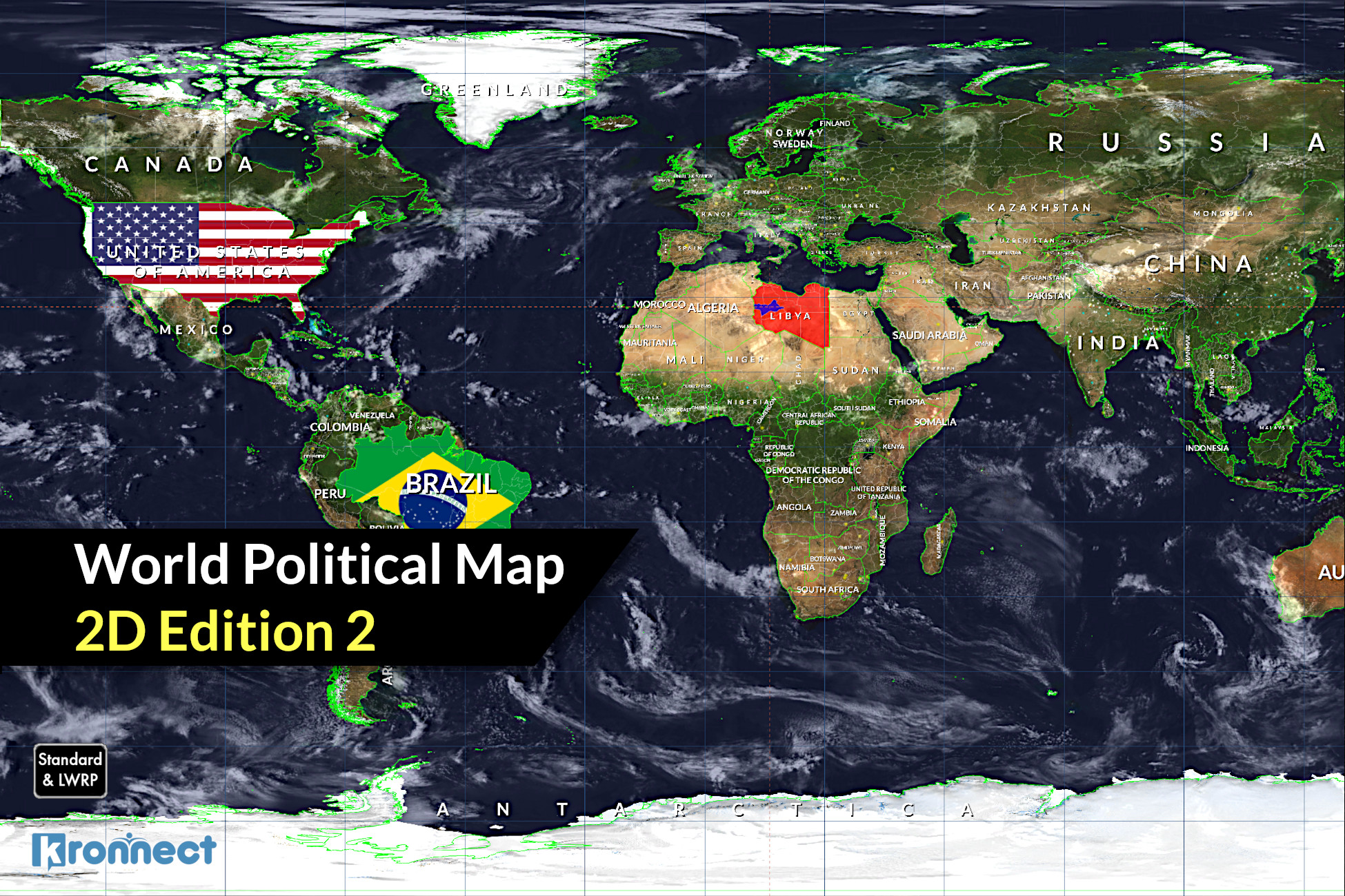
World Map 2D Edition 2
Drop a beautiful, customizable interactive 2D political map into your scene in a couple of clicks, with 241 countries, full C# source and offline data (built-in and URP).
Key Features
Procedurally draws 241 countries, 4112 provinces and 7144 cities -- a complete interactive map
Zoom, pan, select and highlight countries, provinces and cities on hover -- fully interactive
Viewport rendering with cropping, perspective and orthographic projection support -- flexible presentation
Add markers and animated lines over any region or lat/lon location -- visualize data and routes
Colorize countries, provinces or whole continents, with per-country texture support -- total styling control
Find and fly smoothly to any country, state, city or coordinate by name -- effortless navigation
8 Earth styles from lightweight to scenic shaders with textures up to 16K -- looks for every project
Offline geographic data with no map provider, plus full C# source -- fast, self-contained, customizable