Grids & Maps
Built-inURP
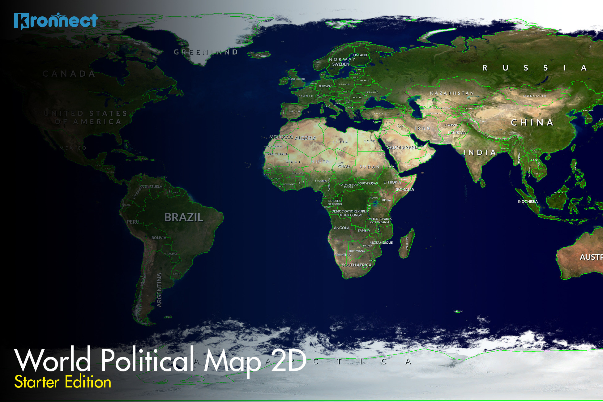
World Map 2D Starter Edition
Drop a beautiful interactive 2D political map into your scene in a couple of clicks, with selectable countries and cities, fully offline (built-in and URP).
Key Features
Procedurally draws frontiers of 177 countries and the 243 biggest cities worldwide --
Countries, regions and cities highlight interactively as you pass the mouse over them --
Automatically draws country labels with flexible placement options --
Colorize individual countries or entire continents to suit your game --
Find and fly smoothly to any country or city by name from current position --
Draw imaginary lines: latitude, longitude and cursor lines on the map --
Works fully offline with included geographic data, no internet or map provider --
Instantiate and control by code with included C# source and documentation --